Dr Peter Macharia

Contact information
Research groups
Peter Macharia
Postdoc in spatial epidemiology
Peter Macharia develops geostatistical methods to map disease prevalence in presence of incomplete spatial information using school survey data. He works closely with Professor Bob Snow and Dr Emelda Okiro
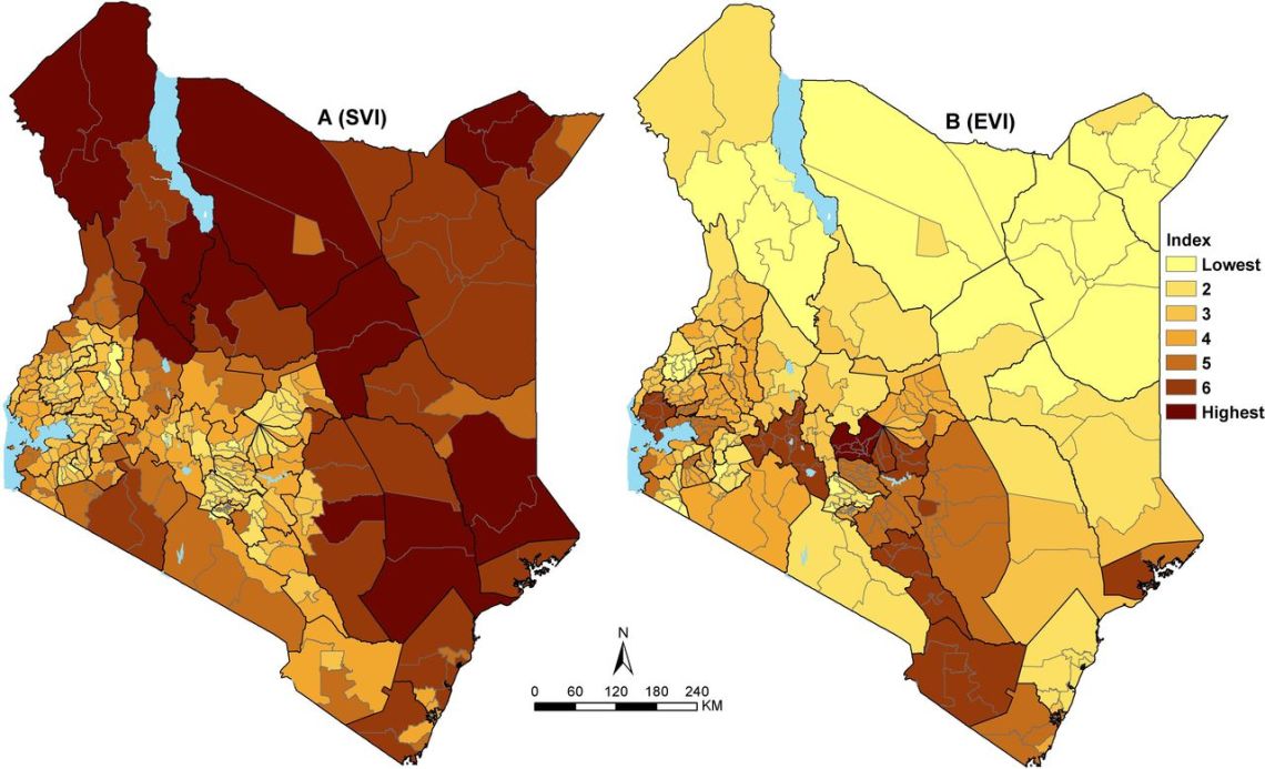
Peter is interested in spatial health metrics to aid in a better understanding of health inequalities, vulnerabilities, and population health through the use of conditional autoregressive and geostatistical models. He also maps physical access, marginalization, and vulnerability indices.
Recent publications
-
When health data go dark: the importance of the DHS Program and imagining its future.
Khaki JJ. et al, (2025), BMC Med, 23
-
Putting health facilities on the map: a renewed call to create geolocated, comprehensive, updated, openly licensed dataset of health facilities in sub-Saharan African countries.
Macharia PM. et al, (2025), BMC medicine, 23
-
Beyond Facility-based Births: Is Uganda Delivering Effective Maternal and Newborn Care? An analysis of the 2022 Demographic Health Survey and 2023 Harmonized Health Facility Assessment Survey
Turigye B. et al, (2025)
-
Landscape of maternal and neonatal care provision in Lubumbashi, Democratic Republic of Congo: Results from a 2023 health facility census
Musau AN. et al, (2025)
-
Prevalence and determinants of double and triple burden of malnutrition among mother-child pairs in Malawi: a mapping and multilevel modelling study.
Khaki JJ. et al, (2024), Public health nutrition, 27


